RPAS Projects
Services
Drone Surveying Solutions
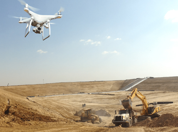
Elevate your project with our cutting-edge drone surveying technology. Capture high-resolution aerial data, conduct topographic surveys, and gain valuable insights efficiently and accurately.
Precision Land Mapping
Navigate your development with confidence. Our precision land mapping services provide accurate data for planning, construction, and environmental assessments, ensuring a solid foundation for success.
Customized Surveying Solutions
Tailoring our expertise to meet your unique needs, we specialize in providing customized surveying solutions. Whether it’s specialized environmental surveys, detailed topographic mapping, or other unique requirements, count on RPAS Projects for precision.
Hi-Tech Surveying Solutions
Embrace the latest in surveying technology with our Hi-Tech solutions. Utilizing cutting-edge tools and methodologies, we deliver precise and efficient surveying services that align with the forefront of technological advancements. Elevate your projects with the power of innovation.
Unparalleled Advantages
Discover a surveying experience like no other at RPAS Projects. What sets us apart is our unwavering commitment to innovation, ensuring that your projects benefit from the latest technological advancements. We take pride in our ability to tailor precision solutions to your unique needs. Unlike standard approaches, our customized surveying services guarantee that you receive the exact data and insights required for your project’s success.
Construction Monitoring
Ensure the success of your construction projects with our monitoring services. From structural monitoring to as-built surveys, RPAS Projects offers comprehensive solutions for large and small-scale construction projects, ensuring compliance and quality throughout.
Mining Surveying Expertise
Delve into specialized surveying solutions tailored for mining projects at RPAS Projects. Our expertise extends to comprehensive mine surveys, including exploration surveys, volumetric assessments, and underground mapping. From mine commencement to closure, trust RPAS Projects for precision surveying that aligns seamlessly with the unique demands of mining operations.
Geospatial Intelligence
Unlock valuable insights with our geospatial intelligence and analysis services. We provide in-depth spatial data analysis, helping you make informed decisions regarding site selection, resource optimization, and risk management.
Comprehensive Aerial Surveys
Elevate your project with our state-of-the-art drone technology. Our comprehensive aerial surveys provide high-resolution data, allowing for precise topographic mapping, volumetric analysis, and detailed site inspections.
Precision Mapping and Modeling
Navigate your development with confidence using our precision land mapping and modeling services. We deliver accurate data for planning, construction, and environmental assessments, ensuring a solid foundation for the success of your project.
Cutting-Edge Technology
Embrace the latest in surveying technology with our Hi-Tech solutions. We integrate cutting-edge tools and methodologies, ensuring your projects benefit from unparalleled precision and efficiency at the forefront of industry advancements.
SurveyTech Synergy
Experience seamless precision with our SurveyTech Synergy, where advanced drone mapping, Total Station accuracy, and collaborative engineering integration converge. Elevate your projects with high-resolution aerial insights, precise measurements, and strategic planning, ensuring a navigational course to success. Benefit from cutting-edge technologies harmonizing for optimal results in every surveying endeavor.
Drone Mapping Precision: Navigating Accuracy from the Skies
Elevate your project with Drone Mapping, a technology that brings a new dimension of accuracy to surveying. Experience the benefit of high-resolution imagery and topographic surveys, allowing for efficient decision-making and precise planning. Gain a comprehensive view from above, optimizing your project’s success.
Total Station Accuracy Unveiled: The Power of Precise Measurements
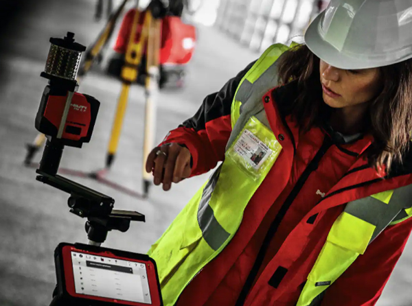
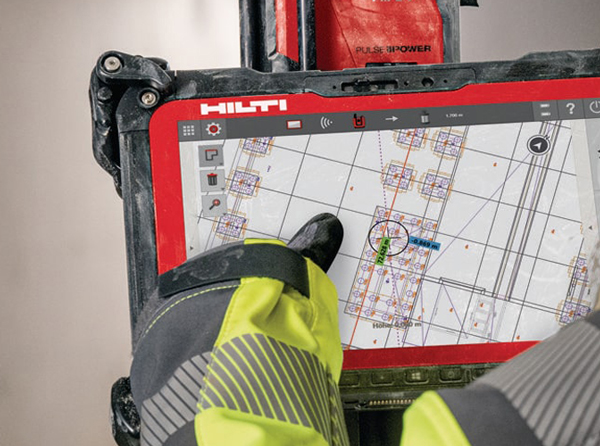
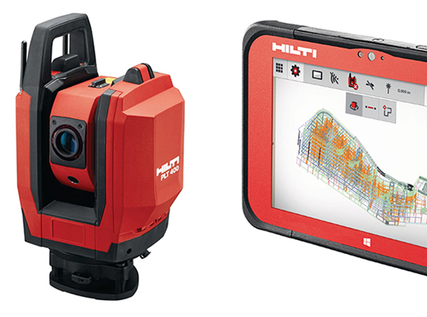
Uncover the power of Total Station technology, providing unparalleled accuracy in surveying. Benefit from precise measurements, angles, and distances, ensuring that your project is built on a foundation of accuracy and reliability. With Total Station, achieve optimal results and confidence in your surveying data.
A Collaboration of Precision and Planning
Experience the synergy between surveyors and engineers, where precision meets strategic planning. Discover how surveying forms the bedrock for engineering projects, offering invaluable data for planning, design, and construction. Partner with us to ensure your project’s success through seamless integration and precision-driven collaboration.
Oldest Profession in the World
Surveying is one of the oldest professions in the world, dating back to ancient civilizations. The Great Pyramid of Giza, for example, was constructed using precise surveying techniques over 4,500 years ago.
GPS Revolution
The advent of Global Positioning System (GPS) technology has revolutionized surveying. Surveyors now use satellite-based systems for accurate positioning, making measurements faster and more efficient.
Measuring the Earth
The science of geodesy involves measuring and understanding the Earth’s shape and gravitational field. Surveyors contribute to this field, providing essential data for activities like map-making and satellite positioning.
Land Surveying Units
Different countries use various units for land surveying. In the United States, land is often measured in acres, while in other parts of the world, hectares or square meters are common units.
Three-Dimensional Precision
Modern surveying extends beyond horizontal measurements. Surveyors use advanced technology to create three-dimensional models, providing a comprehensive view of the terrain and structures.
Role in Infrastructure Development
Surveying plays a crucial role in infrastructure development, including roads, bridges, and buildings. Precise measurements help in proper planning, design, and construction of these essential structures.
Legal Boundary Determination
Surveyors are often involved in determining legal property boundaries. Through boundary surveys, they help resolve disputes and ensure that landowners have a clear understanding of their property limits.
